
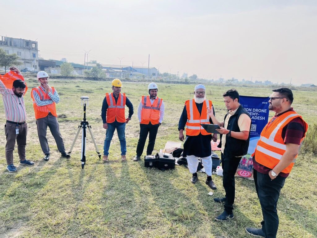
Dhaka, Bangladesh — Avion Aerospace’s concern, Avion Drone Academy – Bangladesh, has successfully completed a specialized drone survey training program for officials of the Department of Land Records and Surveys (DLRS), operating under the Ministry of Land, Government of Bangladesh.
The training program was conducted as part of the government’s ongoing initiative to modernize land administration through digital transformation, geospatial technology, and UAV-based surveying solutions. The program combined advanced theoretical instruction with intensive hands-on operational training to ensure practical competency in real-world land survey applications.
Training Highlights
- Professional Drone Piloting: Safe, regulation-compliant, and mission-oriented UAV operations for land survey and mapping.
- RTK (Real-Time Kinematic) Drone Mapping: High-precision geospatial data acquisition with centimeter-level accuracy using RTK-enabled drones.
- Digital Land Survey Methods: Modern drone-based workflows for digital land records, mapping, and spatial data management.
This initiative significantly enhances the technical capabilities of DLRS officials, enabling faster, more accurate, and more transparent land survey operations. The adoption of drone and RTK technology is expected to improve efficiency in land records management and support data-driven decision-making.
Avion Aerospace and its concern, Avion Drone Academy, are honored to support the Government of Bangladesh in advancing the vision of Smart Bangladesh by integrating cutting-edge drone, GIS, and geospatial technologies into public-sector operations.
For institutional, government, or professional drone training and UAV consultancy, please contact Avion Drone Academy – Bangladesh.
